
DeZwerver.nl
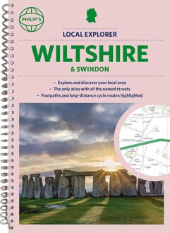
Wegenatlas Local Explorer Street Atlas Wiltshire and Swindon | Philip's Maps
Wegenatlas Local Explorer Street Atlas Wiltshire and Swindon | Philip's Maps
Verzendkosten € 2,95
23,95

Gevonden bij 1 winkel vanaf
€ 23,95
(minder betalen?)
Who hasn't explored and enjoyed their surrounding area in recent years and come to appreciate what is on our respective doorsteps? Philip's have created this new series for walkers, cyclists and local explorers at a scale that provides greener options to uncover all the nature and hidden gems in your local area.
Includes all the 13,000 streets, lanes and alleys in CHIPPENHAM, DEVIZES, MARLBOROUGH, SALISBURY, SWINDON, TROWBRIDGE, Warminster, Amesbury, Avebury, Bradford-on-Avon, Burbage, Calne, Corsham, Cricklade, Durrington, Frome, Great Bedwyn, Highworth, Hungerford, Lambourn, Larkhill, Lechlade-on-Thames, Little Bedwyn, Ludgershall, Lyneham, Malmesbury, Melksham, Mere, Pewsey, Purton, Royal Wootton Bassett, Shaftesbury, South Cerney, Stourton, Tidworth, Westbury, Wilton.
The detailed scale allows explorers, walkers and cyclists to avoid main roads and select pathways, bridleways and lanes for optimum enjoyment. Whether it's meandering through the local parks or historic houses, exploring neighbourhood nature spots or the local town, we have the clear mapping and information you need.
If you do have to travel to reach areas you'd like to explore, all A and B roads are clearly shown on our Route Planner and we include all the large-scale town and city plans. Exceptional detail allows the user to pinpoint exactly where they need to go and the best route to follow.